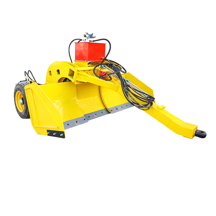
Advantages of satellite graders compared to laser graders
1. Reference signal transmission distance, not affected by the weather.
The signal transmission radius of a regular laser transmitter is about 400 meters, while satellites use satellite signals as reference signals on flat ground and transmit them through radio stations, with a signal length of 10-20 kilometers. And it is not affected by strong winds, fog, or dust.
2. In the process of working on flat ground, the operation is not limited by the large terrain error.
The traditional work of laser depends on the plane formed by the laser transmitter as a reference, once the terrain error is large, beyond the range of the laser signal received by the laser receiver, will not be able to work normally. The satellite level is the use of satellites as a reference, not affected by the level of reception, so not limited by the elevation difference. Moreover, by surveying the terrain, the satellite can directly see the elevation difference of the terrain on the topographic map, know where the high, where the low, can be seen on the monitor, to improve the efficiency of work has some help.
3. Simple, user-friendly interface.
All the data and operation of the satellite graders can be read and operated on the display, which saves a lot of trouble compared with the complex operation of the laser graders.
4. Simplify installation, service, and debugging.
Compared with the complex installation and debugging of laser leveling system, satellite leveling system can be done in just 1 hour.
5. Low cost of late maintenance.
All parts are guaranteed for one year, and in non-artificial cases, they are generally replaced directly.


